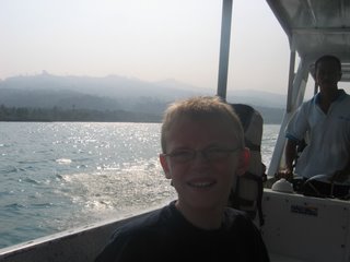
A shot of Nash right after we left the marina, with the shore of Java in the background.
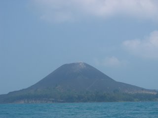
About 45 minutes later, our first view of Anak Krakatau. Notice the trees at the bottom of the island, and then the path that angles up to the left to a small plateau, with another path that angles up and to the right to the summit.
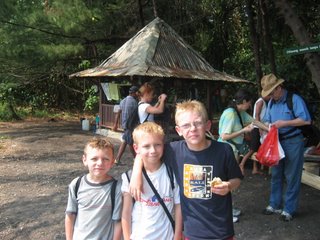
There was a small hut on the island with about 8 people - most of them employees of the Indonesian forestry service. We stopped there for a few minutes to change into our shoes and to have something to eat before we started our hike. We had to pay an "entry fee" of about $10 (for the group), and 2 of the guys walked to the top with us as our guides.
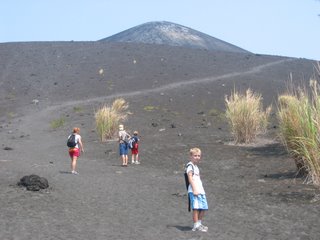
After walking through the forest for a couple of hundred yards the trail quickly turned to dark, coarse sand and the vegetation disappeared.
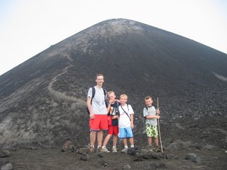
At the top of the first ridge there was a small plateau.
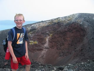
Nash and I went with most of the rest of the group to the top. This is the best photo of the crater in the background - dark red rocks/soil, with patches of yellow, orange, or green rocks. Several of these spots also had smoke or steam coming out.
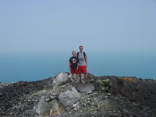 Nash and I on the edge of the crater, with a view behind us in the direction of the island of Sumatra.
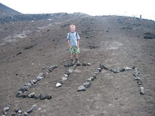
Grant and Luke didn't go all the way to the top. Luke spent his time writing his initials on the hill with rocks. In the background on the horizon you can see the silhouette of the small seismic monitoring station.
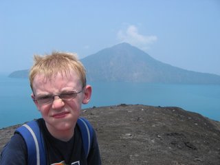
Here's Nash squinting in the sun with a mouthful of food, but this is the best shot of the island of Rakata - the only surviving part of Krakatau that erupted in 1883. Rakata is about 2 miles away, just to give you a sense of the size of the island that disappeared in the eruption.
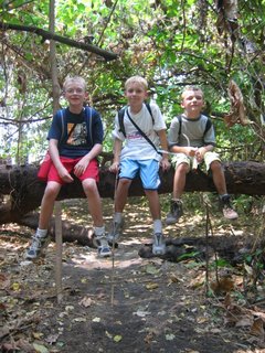
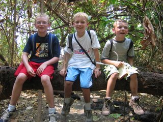 The three boys on a tree branch in the forest on Krakatau.
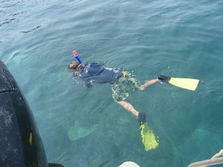 Luke snorkeling in the water on the eastern shore of Rakata. You can see some of the coral in the water beneath him. It was a pretty good reef - lots of large coral, and quite a few fish.
